
DOWNLOAD THE APP


Customer Services
Copyright © 2025 Desertcart Holdings Limited
DOWNLOAD THE APP


🗺️ Own the map, own the moment.
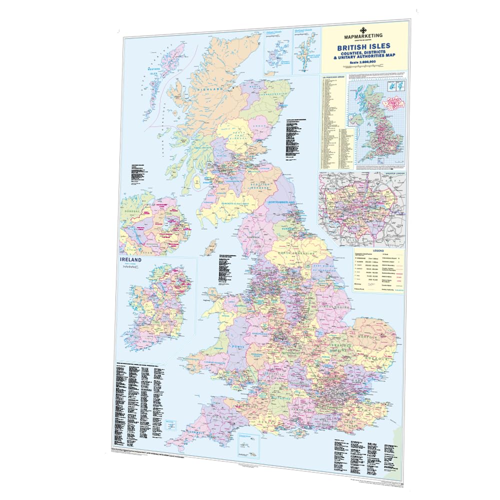
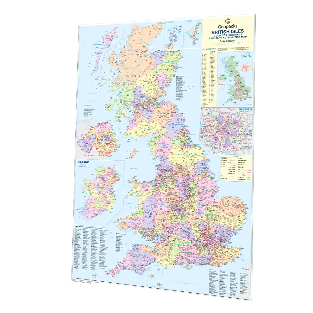
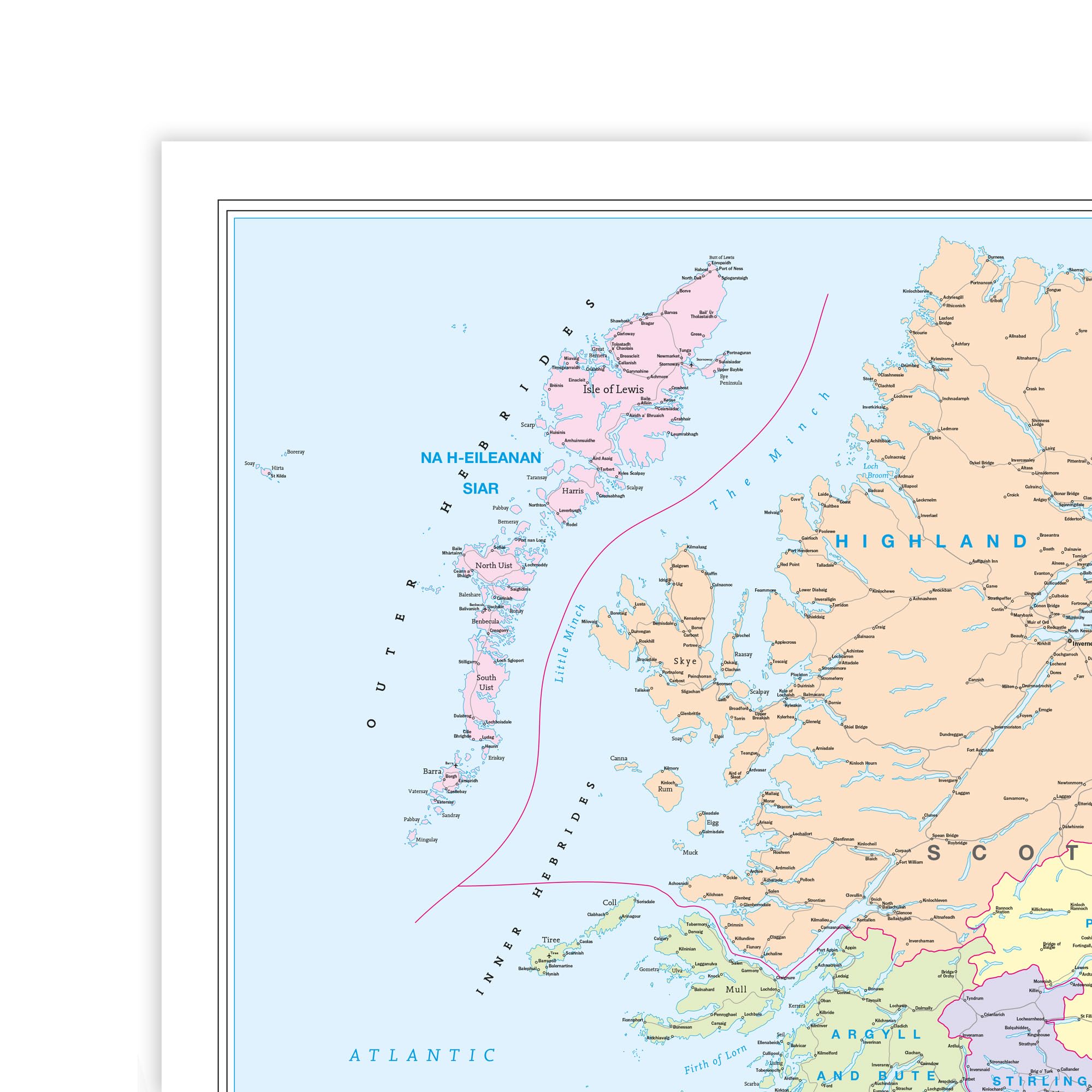
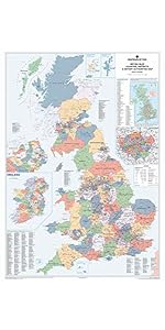
This large 120x83 cm laminated UK wall map offers detailed political boundaries, postcode areas, and population data, updated to 2019 standards. Its durable, writable surface is ideal for professionals who demand precision and flexibility in planning and presentations.


| ASIN | B000I6POFW |
| Best Sellers Rank | 31,404 in Stationery & Office Supplies ( See Top 100 in Stationery & Office Supplies ) 113 in Educational Charts & Posters 287 in School Curriculum Resources |
| Brand | Map Marketing |
| Brand Name | Map Marketing |
| Colour | Full colour. |
| Customer Reviews | 4.6 out of 5 stars 51 Reviews |
| Global Trade Identification Number | 05015822901010 |
| Item Dimensions L x W | 83L x 120W centimetres |
| Item Weight | 361 Grams |
| Item weight | 361 Grams |
| Manufacturer | Map Marketing |
| Map Type | Political |
| Map type | Political |
| Paper Finish Type | Coated |
| Paper Size | 830 x 1200 mm |
| Paper finish | Coated |
| Sheet size | 830 x 1200 mm |
J**.
Useful details.
A replacement which has just the right amount of detail.
C**O
Excellent map
Purchased for my son to hang on his wall. He loves it, the detail is superb and the fact that it is laminated means sticky fingers can be wiped easily.
K**D
Very clear
A good size for the wall clear and easy to mount
A**R
Vfm
Love it, excellent vfm
J**E
top service
The item arrived in record time and is just as described. I couldnt have done better if I went out looking for it!! Many thanks.
R**.
Not great
It wasn't flat. Map was extremely hard to roll straight. Would have returned it but needed it the next day! Map quality would have been good if it was flat.
S**E
Does the job
I use this as a quizzing reference
Trustpilot
1 month ago
1 month ago